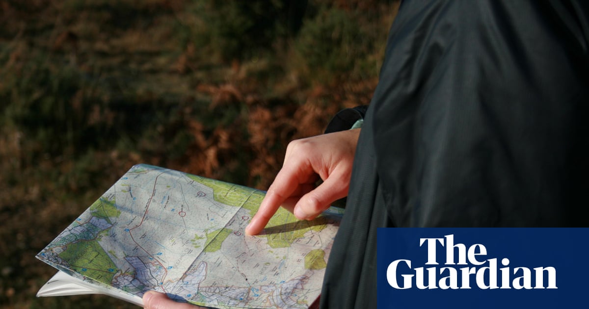

Readers respond to an editorial which argues that the agency’s maps are still a superior way to navigate the landscape
I loved your homage to the original mapmakers of the Ordnance Survey, giving credit to those who hauled their theodolites around the country to take their measurements (Editorial, 8 November).
Credit also should be given to the mathematicians, and especially the computers (people who did the arithmetic for hour after hour) who took the field measurements and converted them to coordinates to plot on a paper map.